Touring briefings for riders who carry their own marginInspiration here · conditions verified locally
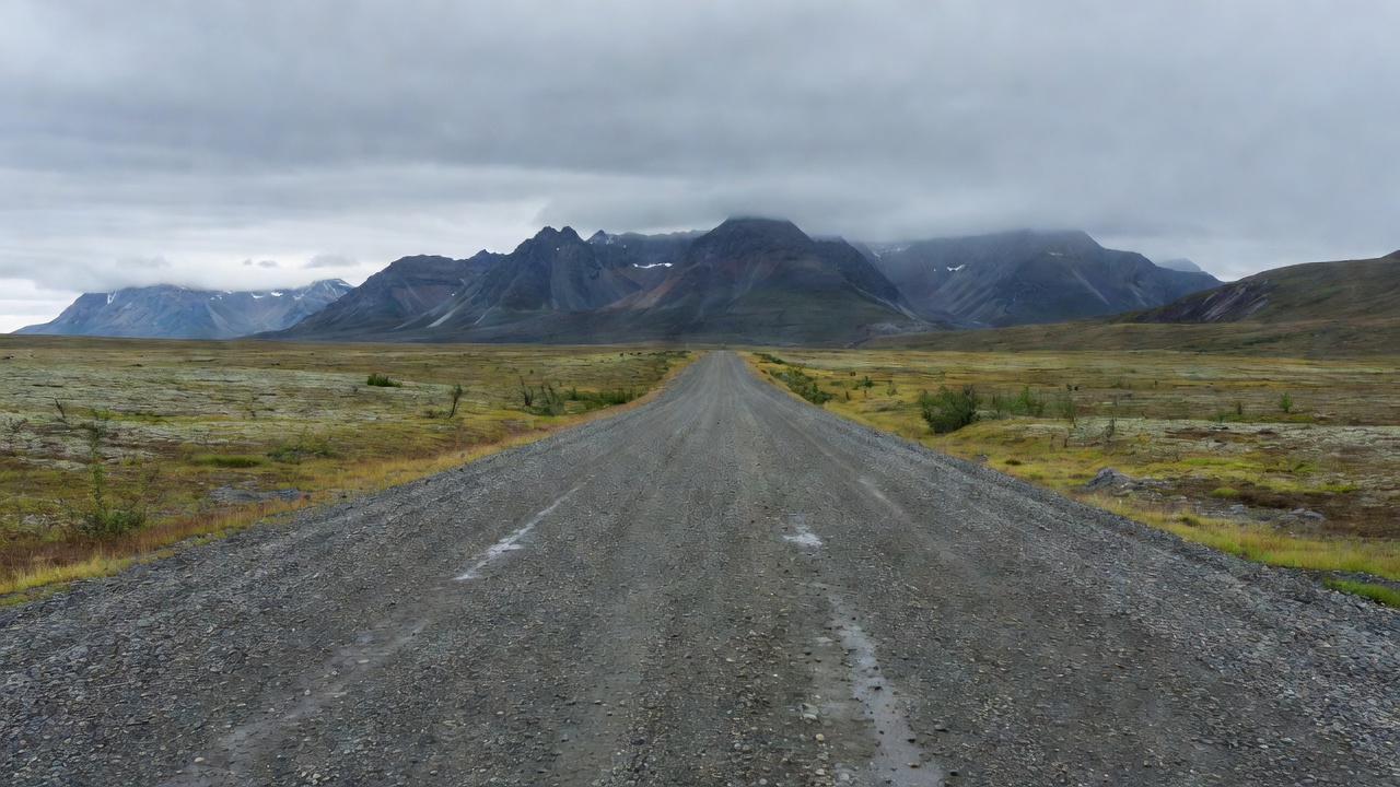
Dalton Highway gravel surface stretching across open tundra toward the Brooks Range under a heavy grey sky
Remote rides briefing

Plan beyond easy exits

Remote roads remove the safety net of frequent towns. What you carry, what you know and when you turn back replace it.

Dalton Highway Sourced
414 mi
Dempster Highway Sourced
736 km
Carretera Austral Commonly cited
~1,240 km
Stuart Highway Sourced
~2,834 km

What makes a ride remote

A road becomes remote when the cost of a problem rises sharply: no phone signal, long distances between fuel, little traffic to flag down and expensive recovery. A puncture that costs twenty minutes near a town can cost a day, or a four-figure recovery bill, on a gravel highway in the subarctic.

Remote riding is therefore a planning discipline. The decisions that keep it enjoyable are the same on every continent: how far you can actually travel on the fuel you carry, how you call for help, what tyres and tools you bring, and the conditions under which you will turn back.

Route briefings

  • Gravel
  • Mixed surface
  • Permit area
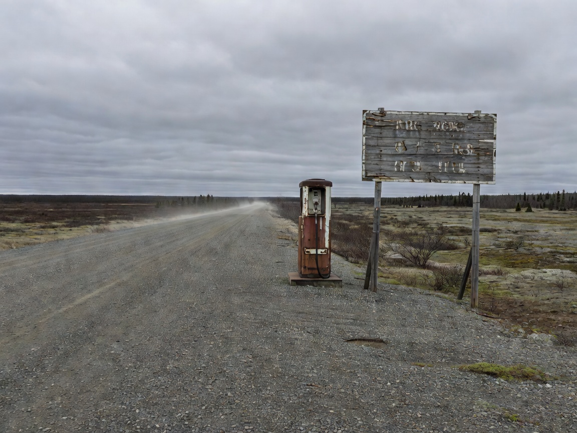
Isolated fuel stop with a single pump and a weathered sign beside a gravel highway in the far north

Dalton Highway · Alaska, USA

GRV

414 miles from near Fairbanks to Deadhorse, built as the Trans-Alaska Pipeline haul road. Long sections are gravel, and the calcium chloride used for dust control turns slick in rain. Heavy trucks have priority in practice.

Coldfoot–Deadhorse Commonly cited
~240 mi, no services

Verify locallyCheck Alaska 511 and the BLM Dalton Highway visitor information for roadworks and services.

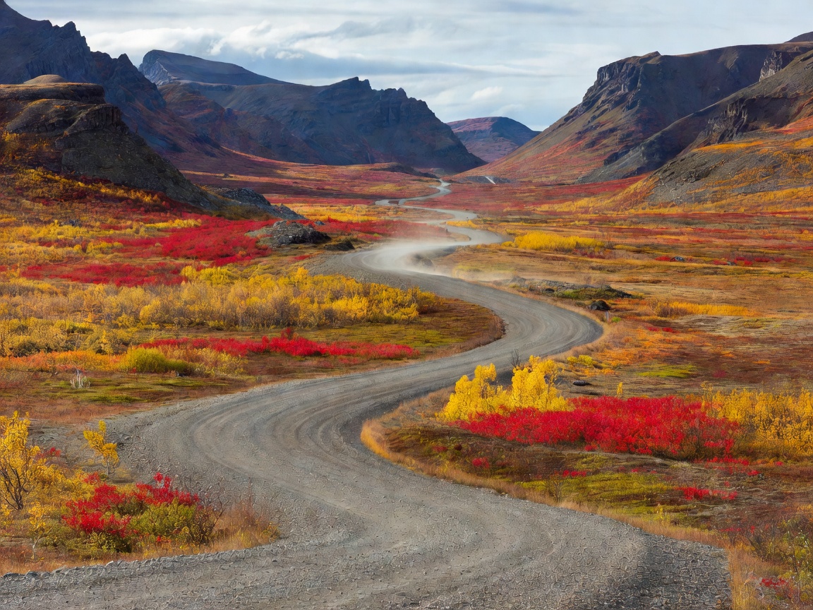
Dempster Highway gravel winding through Tombstone Territorial Park with dark ridges and autumn tundra

Dempster Highway · Yukon–NWT, Canada

GRV

736 km of gravel from Dempster Corner near Dawson City to Inuvik, crossing the Arctic Circle and two river ferries. Sharp shale is notorious for punctures.

Start to Eagle Plains Commonly cited
~370 km

Verify locallyFerry crossings close during freeze-up and break-up; check Yukon 511 and NWT highway reports.

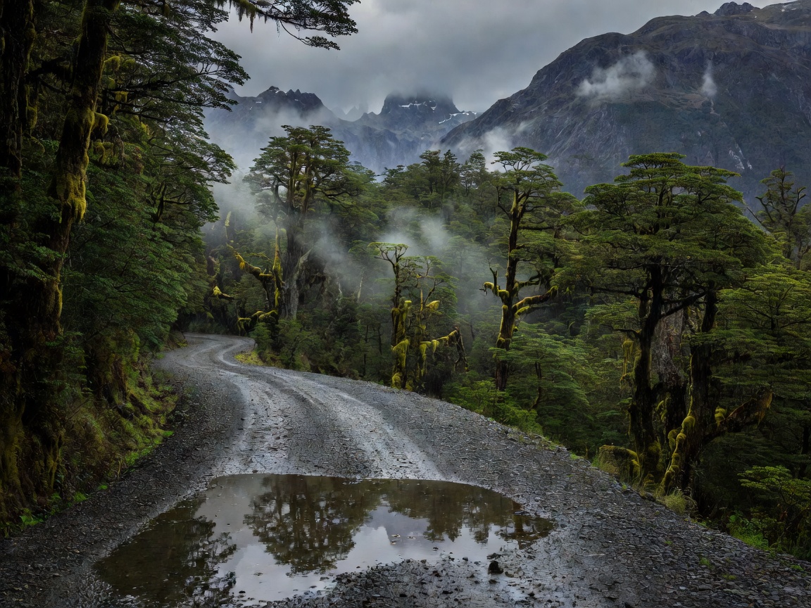
Carretera Austral gravel road through wet Patagonian forest with mist on the mountains and puddles on the surface

Carretera Austral · Ruta 7, Chile

MIX

Roughly 1,240 km from Puerto Montt to Villa O'Higgins, mixing new tarmac with gravel, ferries and frequent rain. Fuel is available in towns but supply can run short in smaller places.

Verify locallyFerry timetables, roadworks and fuel deliveries change; confirm in each town.

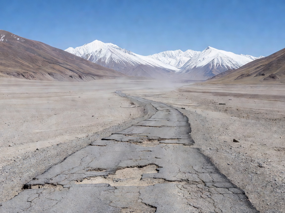
Pamir Highway crossing a barren high-altitude desert valley with broken tarmac and snow peaks behind

Pamir Highway · M41, Tajikistan–Kyrgyzstan

PRM

A high-altitude route through the Gorno-Badakhshan region, with sections well above 4,000 m, broken surfaces and very limited fuel quality and supply. A GBAO permit is required.

Verify locallyPermit rules and border crossings change. Confirm with official sources before travel.

Fuel gap table

RouteNotable gapStatus
Dalton HighwayColdfoot to Deadhorse, ~240 miCommonly cited
Dempster HighwayDempster Corner to Eagle Plains, ~370 kmCommonly cited
Iceland F35 KjölurInterior crossing with no guaranteed fuelEstimate: plan 200+ km
Stuart HighwayRoadhouses typically 100–250 km apartEstimate

Gaps assume stations along the way are open. If one is closed, the gap doubles.

Fuel strategy

Start with your real consumption, not the brochure figure. Ride a loaded test day and record litres per 100 km. Then add a penalty for the conditions ahead: headwind, gravel, altitude and sustained high speed all raise consumption. Hold a reserve back and never treat it as range. The fuel-gap worksheet runs that calculation for you.

  • Carry auxiliary fuel in purpose-made containers or bladders, secured low and away from exhaust heat.
  • Fill everywhere once you enter a remote section.
  • Know the second station, so a closed pump becomes an inconvenience, not a crisis.
  • Carry cash; card readers at remote stations fail.

Self-reliance kit

Tyres matter most: dual-sport or knobbly tyres with fresh tread, a tested puncture repair method and a way to reinflate. Carry a satellite messenger or personal locator beacon, register it, and agree a check-in schedule with someone at home. Pack water, food and warm layers for an unplanned night. Riding with a partner halves many problems, but only if you both carry the essentials.

Finally, set your turnaround rules before you start: weather worse than forecast, a mechanical you cannot fix with what you carry, or fuel margin below plan. Writing them down makes them easier to obey.

Inspiration vs. conditionsThese roads are among the most memorable rides on earth. Surfaces, ferries, permits and services change every season, so verify locally before you commit.

Open the ride briefing