Touring briefings for riders who carry their own marginInspiration here · conditions verified locally
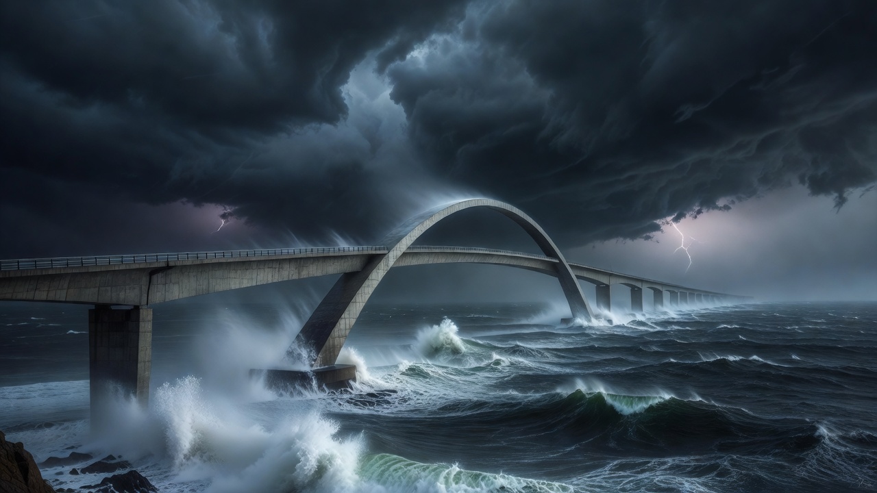
Curved Storseisundet bridge on Norway's Atlantic Ocean Road under storm clouds with spray rising from the sea
Coastal roads briefing

Trace the outer edge

Shoreline roads trade altitude for exposure. Wind, spray, fog and holiday traffic shape the day more than the corners do.

Atlantic Ocean Road Sourced
8.3 km · 8 bridges
Chapman's Peak Sourced
9 km · 114 bends
Wild Atlantic Way Sourced
~2,500 km

What the coast changes

Coast roads seldom climb high, so riders relax. The hazards are quieter. Salt spray leaves a film on tarmac and visors. Onshore wind deposits sand on the apex of exactly the bend you want to enjoy. Exposed bridges and headlands deliver gusts that push a tall, loaded touring bike across its lane. Marine fog can sit on the coast while the sky inland is clear, leaving the road damp and visibility short.

Then there is traffic. The most famous coastal roads are also the most visited, with campervans, coaches and cyclists sharing narrow carriageways. On single-track sections, passing places govern the pace of everyone. The ride is better if you plan around peak hours rather than through them.

Route briefings

  • Coastal paved
  • Single-track
  • Toll
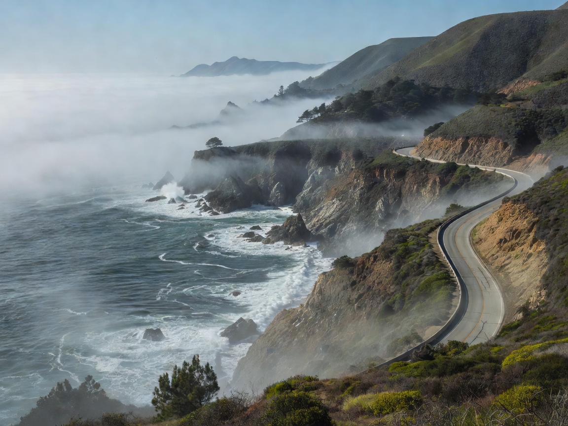
California Highway 1 at Big Sur clinging to a steep slope above the Pacific with marine fog over the water

Big Sur · Highway 1, California

CST

Roughly 90 miles of road carved into the Santa Lucia Mountains, crossing landmarks such as the 1932 Bixby Creek Bridge. Fog is common in summer mornings and services are sparse between Carmel and Cambria.

Verify locallyLandslides have closed sections for months at a time. Check Caltrans QuickMap for through-route status.

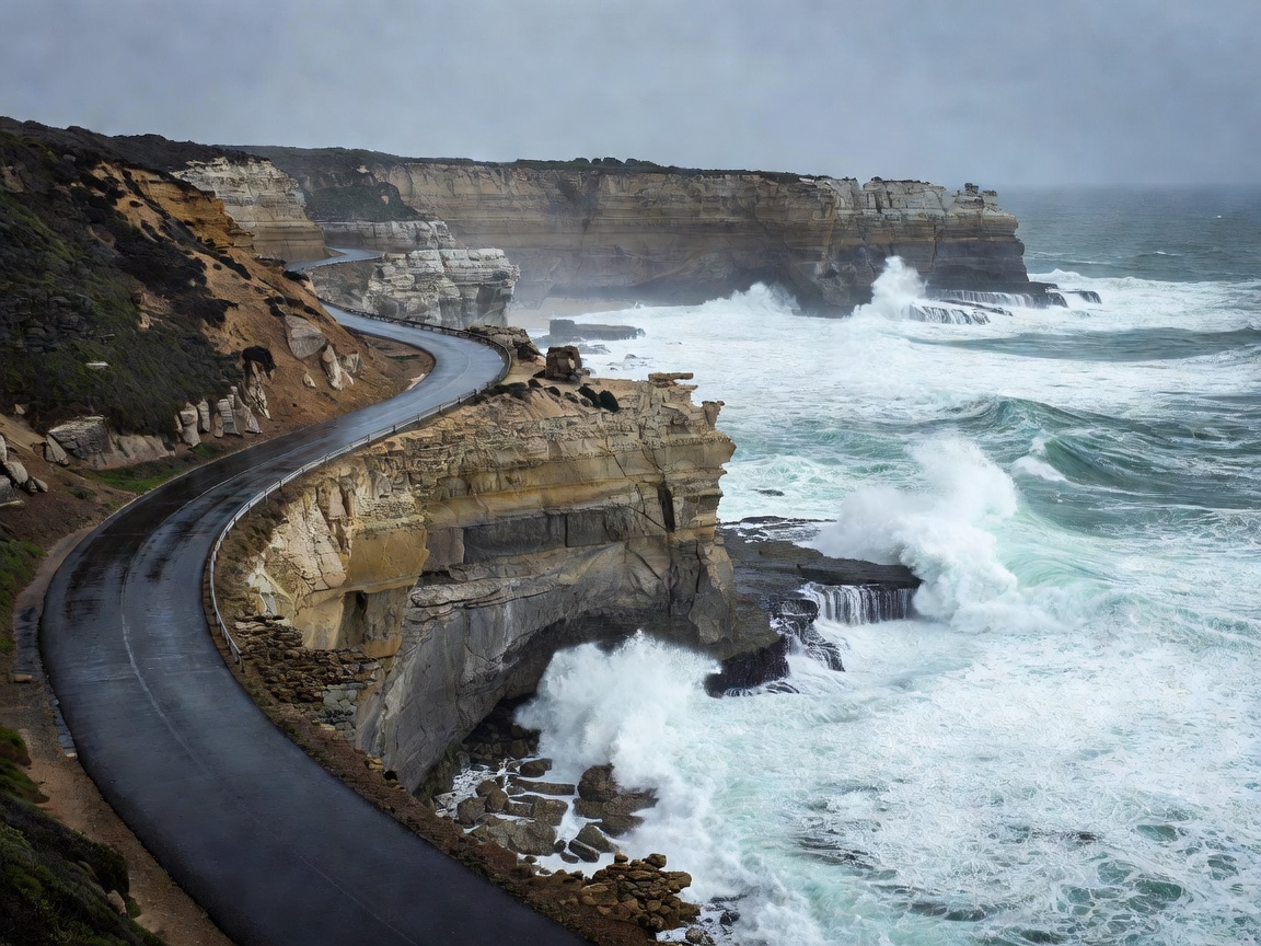
Great Ocean Road bending along limestone cliffs in Victoria with surf breaking below and a wet road surface

Great Ocean Road · B100, Australia

CST

Around 243 km from Torquay to Allansford, built by returned servicemen after the First World War. Expect tight bends through the Otways, wildlife at dusk and heavy tourist traffic near the Twelve Apostles.

Verify locallyBushfire and landslip closures occur; check VicTraffic before departure.

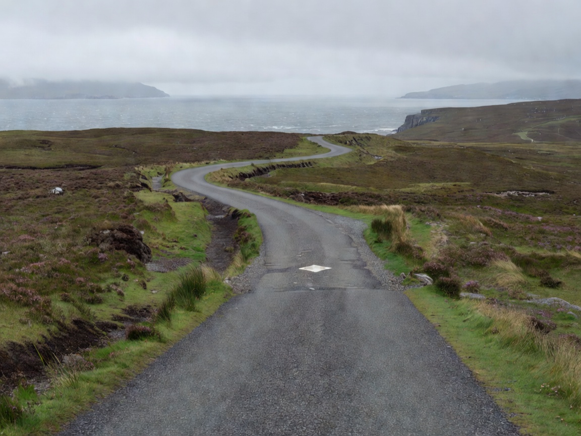
Single-track road on Scotland's North Coast 500 with a marked passing place and grey sea under low cloud

North Coast 500 · Scotland

SNG

A 516-mile loop from Inverness around the northern Highlands. The west side includes long single-track stretches such as the Bealach na Bà, with passing places, livestock and loose gravel at the edges.

Verify locallySmall fuel stations in the northwest keep limited hours, especially on Sundays.

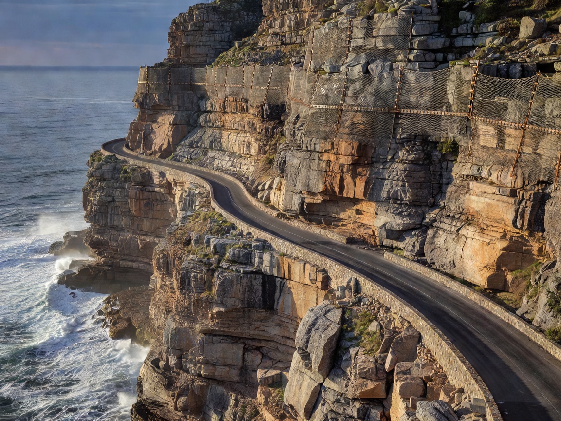
Chapman's Peak Drive cut into a sheer cliff above the Atlantic near Cape Town with rock netting overhead

Chapman's Peak Drive · South Africa

TOL

About 9 km and 114 curves between Hout Bay and Noordhoek, cut into the cliff with rockfall catch fences. A short toll road best ridden in calm weather.

Verify locallyThe road closes during high rockfall risk, strong wind and heavy rain.

Comparison table

RouteLengthMain exposurePlan around
Atlantic Ocean Road, Norway8.3 kmWave spray, bridge gustsStorm days, tour coaches
Big Sur, USA~90 miFog, landslidesClosures, sparse fuel
Great Ocean Road, Australia~243 kmTraffic, wildlifeDusk, holiday peaks
Wild Atlantic Way, Ireland~2,500 kmWind, rain, narrow lanesDaily distance, weather
North Coast 500, Scotland516 miSingle track, livestockPassing places, fuel hours

Riding the exposure

In crosswinds, relax your arms and let the bike move under you; a stiff grip transfers every gust into the steering. Grip the tank with your knees, lower your body slightly, and leave extra space from large vehicles that create turbulence and wind shadows. Slow down before exposed bridges and headlands rather than on them.

On single-track roads, pull into a passing place on your left to let oncoming traffic through, or wait opposite one on your right. Never park in a passing place for photos. Expect sheep on the road and gravel thrown into the centre strip.

Salt and sand are a surface problem and a maintenance one. Wash the chain, brakes and fork stanchions after a few days of coastal riding, and carry a visor cloth to clear salt film before it turns the evening sun into glare.

Fuel on the coast

Fuel is generally easier on coastal routes than in mountains or interiors, but not everywhere. Remote peninsulas on the Wild Atlantic Way, the northwest of the North Coast 500 and the Big Sur coast all have stretches where the nearest pump is shut by evening. Fill up in the larger towns, and use the fuel-gap worksheet for any section you have not ridden before.

Inspiration vs. conditionsThe views are reliable. The road, the wind and the opening hours are not. Confirm closures and weather locally on the day.

Open the ride briefing