Touring briefings for riders who carry their own marginInspiration here · conditions verified locally
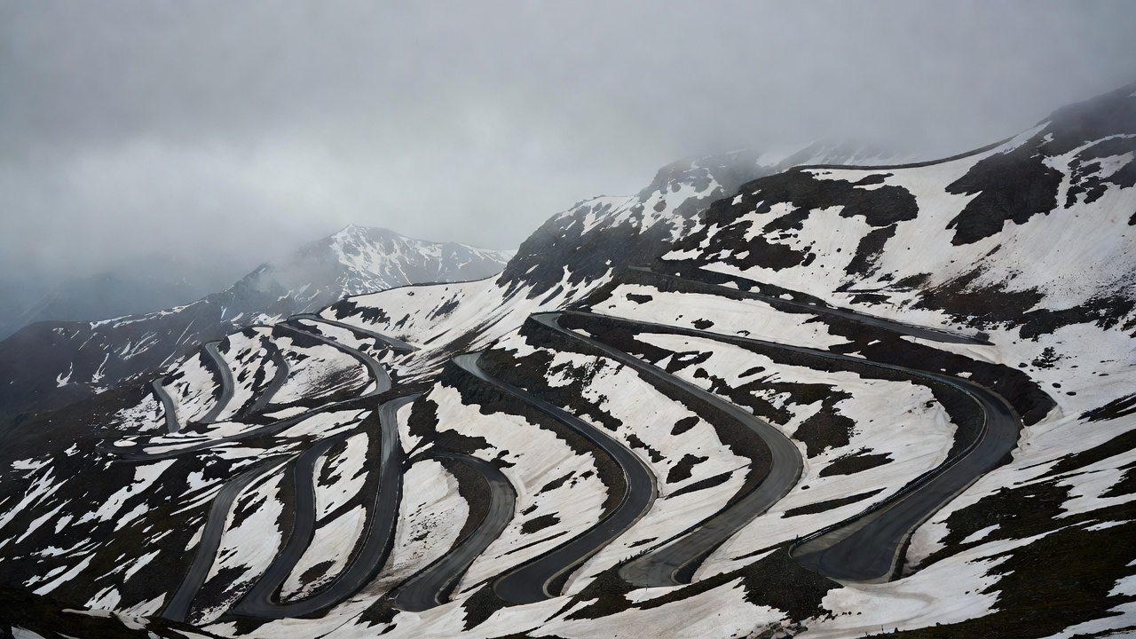
Stacked hairpin bends of the Stelvio Pass under low overcast cloud, snow patches on dark rock above the road
Mountain passes briefing

Earn the next elevation

High passes reward early starts, warm layers and patient descents. They punish late afternoons, cold hands and the assumption that a road open last week is open today.

Col de l'Iseran Sourced
2,764 m
Stelvio Sourced
2,757 m
Beartooth Pass Sourced
3,337 m
Lapse rate ISA
6.5 °C/km

Why passes carry consequences

A pass road concentrates every variable a touring rider manages. Temperature falls by roughly 6.5 °C for every 1,000 m of climb in the International Standard Atmosphere, so a warm valley morning can become near-freezing on top. Hairpins slow you to walking pace, then ask for precise throttle on gradients that unsettle a loaded bike. Fuel is usually in the valleys, not on the climb. And the season is short: snow decides when most high roads open and close, not the calendar.

None of that is a reason to avoid them. It is a reason to ride them in the right order: climb in the morning, cross the summit before convective cloud builds, descend with energy left, and know which lower road you take if the top is closed or clagged in.

Route briefings

  • Alpine paved
  • Toll road
  • Seasonal
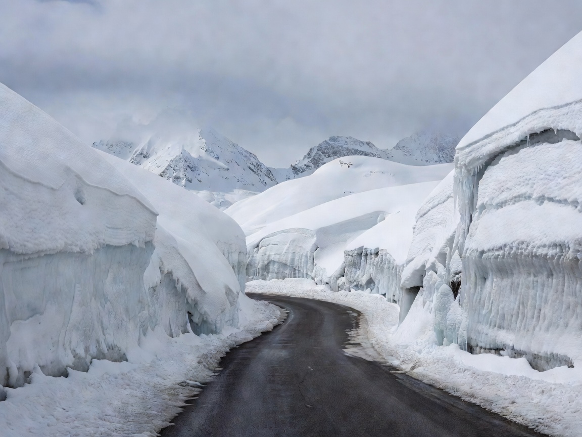
Grossglockner High Alpine Road winding between high snow walls near the Hochtor tunnel in early season

Grossglockner High Alpine Road · Austria

TOL

Built in the 1930s as a scenic toll road, it runs 48 km with 36 bends between Bruck and Heiligenblut, topping out at the Hochtor at 2,504 m. Well surfaced, well signed, and a good first high pass for a loaded bike.

Verify locallyOperated seasonally, typically early May to early November, with night closures and a motorcycle toll.

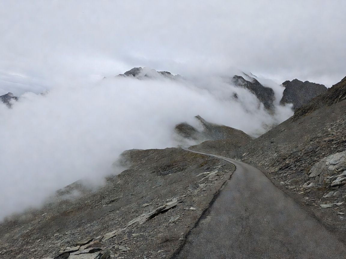
Bare high-altitude road near the Col de l'Iseran summit with cloud rolling over scree slopes

Col de l'Iseran · D902, France

SEA

At 2,764 m it is often cited as the highest paved pass in the Alps, linking Val-d'Isère and Bonneval-sur-Arc on the Route des Grandes Alpes. Long, exposed and properly cold at the top.

Verify locallyUsually open from June to October; early and late season closures follow snowfall.

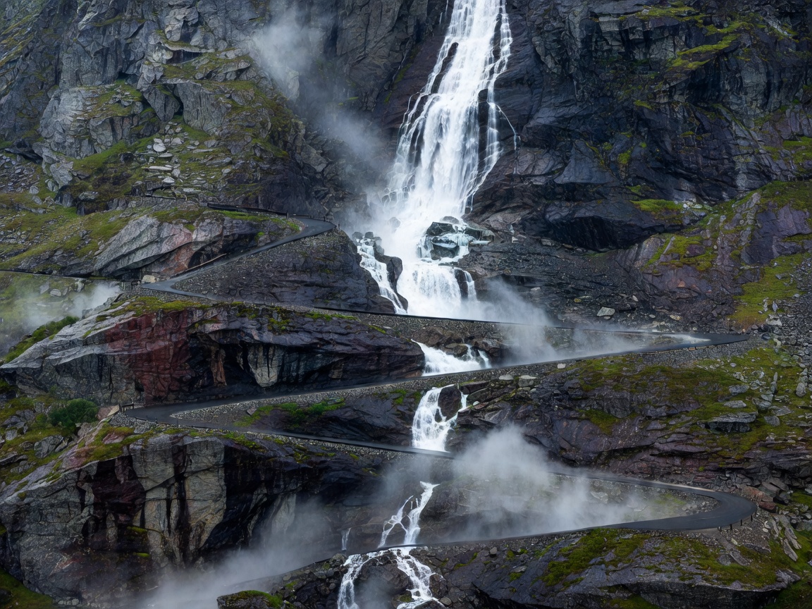
Trollstigen hairpins cut into a wet rock wall with a waterfall beside the road in Norway

Trollstigen · Fv63, Norway

SEA

Eleven hairpins climb a steep valley wall beside the Stigfossen waterfall. Short, dramatic and busy with tour coaches in midsummer, so ride it early or late in the day.

Verify locallyTypically open late May to October; Statens vegvesen publishes status and rockfall works.

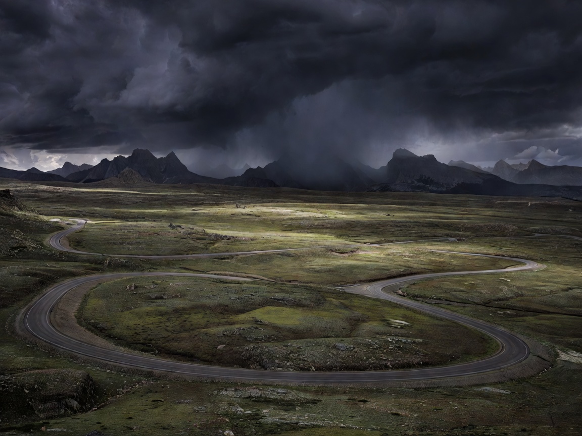
Beartooth Highway crossing a high treeless plateau with dark storm clouds building over distant peaks

Beartooth Highway · US 212, Montana–Wyoming

ALP

The road crosses Beartooth Pass at 10,947 ft (3,337 m) on a broad plateau where summer storms can bring hail and snow. Long stretches without shelter make the weather call more important than the riding.

Verify locallySeasonal, typically late May to mid-October; check Montana and Wyoming DOT status.

Comparison table

High pass comparison
PassHigh pointCharacterTypical season
Stelvio, Italy2,757 m48 hairpins on the Prato side, narrowLate May/June–Oct/Nov
Col de l'Iseran, France2,764 mLong exposed climbJune–Oct
Grossglockner, Austria2,504 mToll road, 36 bendsMay–early Nov
Transfăgărășan, Romania~2,042 mSwitchbacks, frequent fogJul–Oct
Beartooth, USA3,337 mHigh plateau, stormsLate May–mid Oct

Seasons are typical ranges, not commitments. Verify locally.

Hairpins and descents

On a tight uphill hairpin, set your speed and gear before the turn, look through to the exit, and keep a steady neutral throttle so the bike stays settled. Take the wide line only if you can see it is clear; tour coaches and campervans use the whole road. On narrow mountain roads in Switzerland, uphill traffic has legal priority, and the courtesy is widely followed elsewhere in the Alps.

Descents are where loaded bikes are most often overstretched. Use engine braking in a lower gear, brake in a straight line before the bend, and release smoothly as you turn in. If the brake lever starts feeling different on a long descent, stop at a safe pull-out and let things cool rather than pushing on.

Planning the day

  1. Fuel in the valley. Fill before the climb. High passes rarely have stations, and a loaded bike climbing in low gears burns more than its usual rate.
  2. Set a summit window. Cross the highest point before early afternoon in summer, when thunderstorms commonly develop over mountains.
  3. Layer for the top. Keep a thermal mid-layer and warm gloves at the top of a pannier, not under the tent.
  4. Name the alternative. Every pass has a lower road or a tunnel option. Write it down with its extra distance.
  5. Watch yourself. Altitude, cold and concentration tire riders faster than they expect. Stop, drink and eat on top before committing to the descent.

Inspiration vs. conditionsOur route descriptions tell you why a pass is worth riding. Whether it is safe to ride on a given day depends on current snow, rockfall, roadworks and weather that only local sources can confirm.

Open the ride briefing